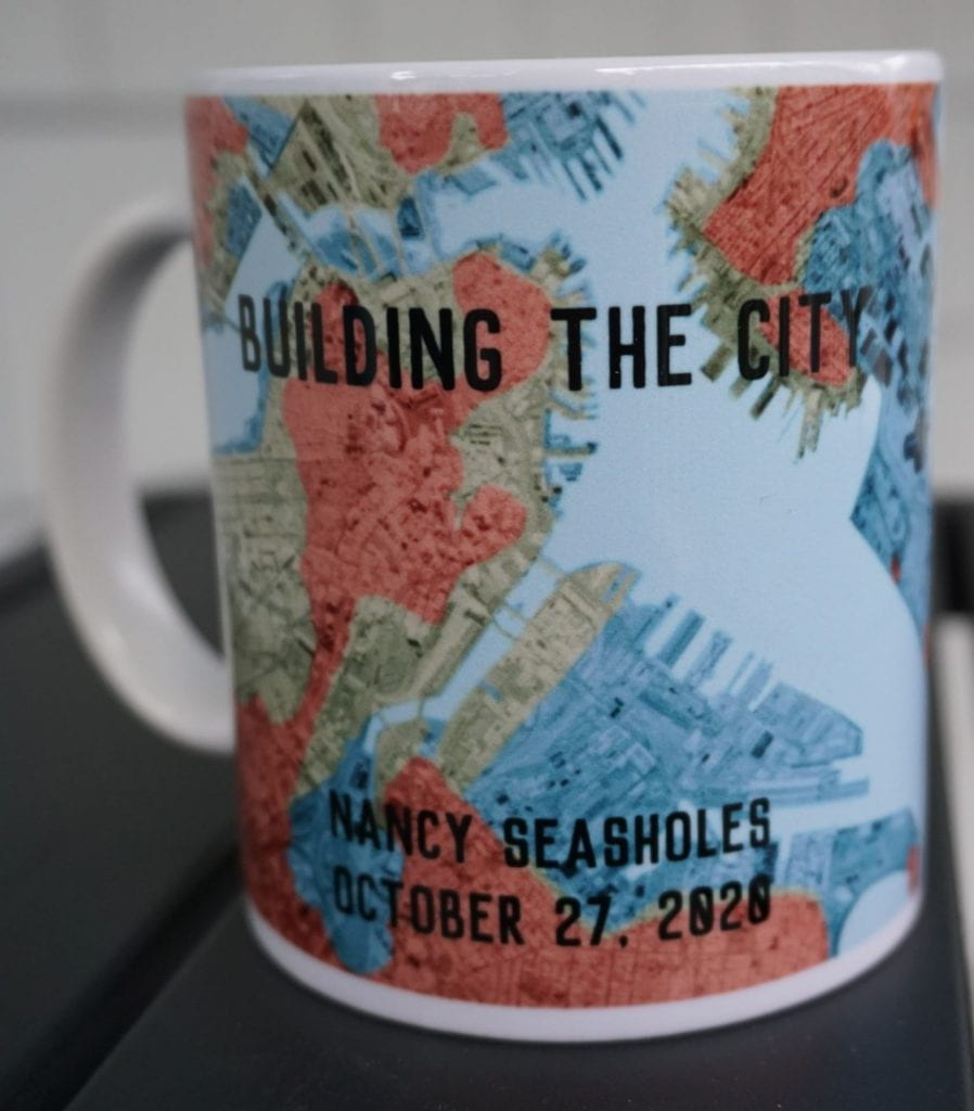
 Archaeologist and historian Nancy Seasoles presents us with an illustrated account of landmaking in Boston over several centuries to give us a view of how and why Boston grew from a little peninsula to the city of today. Seasholes is the author of the definitive work on the topic, Gaining Ground: A History of Landmaking in Boston, and editor of The Atlas of Boston History.
Readings:
Nancy Seasholes, Gaining Ground: A History of Landmaking in Boston (Cambridge, MA: The MIT Press, 2018), 1-19, 152-209.
Nancy Seasholes ed., The Atlas of Boston History (Chicago: University of Chicago Press, 2019), 42-43, 72-73, 124-125, 127.
Mark Peterson, The City-State of Boston: The Rise and Fall of an Atlantic Power, 1630-1865 (Princeton, NJ: Princeton University Press), 540-564.
Mug battle question: Two of the first eight houses built on a newly widened Mill Dam in 1852 are still standing today. What street are they on and at what cross-street?
Answer: This was a hard one, as for the first time we had only ONE correct answer! Major kudos to Cole Schmitt who figured out that Mill Dam was an extension of Beacon, then walked it to determine the cross street is Beacon and Arlington. Nice job Cole!
Further reading: For those wanting to learn more about the process of altering, constructing, and controlling the city’s topography I highly recommend Michael Rawson’s Eden on the Charles: The Making of Boston (Harvard University Press, 2010) (in particular Chapter 1 on “Enclosing the Commons”). Dr. Seasholes has also published a book for those looking to navigate Boston’s made land by hitting the pavement, called Walking Tours of Boston’s Made Land (MIT Press, 2006).